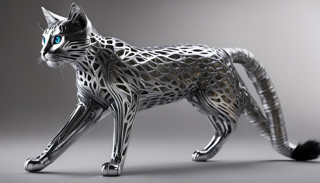
As a wildlife enthusiast, I’m always excited about groundbreaking technologies that help us better understand and protect our furry friends. One such technology that has taken the world of wildlife research by storm is drone technology. These unmanned aerial vehicles are revolutionizing the way we track and monitor wild feline populations, providing invaluable insights into their behaviors and habitats.
Drone technology has opened up new possibilities for conducting aerial surveys and tracking the movements of feral cats. With drones equipped with state-of-the-art surveillance cameras, scientists can now gather high-resolution images and videos of these majestic creatures from above, without disturbing their natural habitat.
By harnessing the power of drone surveillance in feline studies, researchers can collect valuable data that aids in conservation efforts. From monitoring population sizes and migration patterns to identifying potential threats and implementing targeted conservation strategies, drones are proving to be indispensable tools in big cat conservation.
Key Takeaways:
- Drone technology is transforming wildlife research and conservation efforts.
- Drones allow for aerial surveys and tracking of feral cat populations.
- Surveillance cameras on drones provide high-resolution images and videos.
- Drones help monitor population sizes, migration patterns, and threats to wild cats.
- They enable targeted conservation strategies for big cat conservation.
Drone-Based Telemetry of Invasive Species
Drones are revolutionizing the way we track and manage invasive species in ecosystems. With their aerial capabilities and advanced telemetry technology, drones provide valuable insights for effective invasive species management.
Using drone-based telemetry, wildlife managers can track the movements of invasive species such as feral cats, wild boar, and deer. Equipped with radio-tracking technology, drones offer real-time tracking data, allowing managers to gather accurate information on the location and behavior of these species across challenging landscapes.
This data is essential for developing targeted and efficient management strategies. By understanding the movement patterns and distribution of invasive species, wildlife managers can implement timely interventions and mitigate the negative impacts on native wildlife and ecosystems.
I’m thrilled to see how drone technology is enabling us to tackle the challenges of invasive species management. The combination of aerial surveillance and tracking capabilities allows us to gather data that was once difficult to obtain. This information is invaluable for making informed decisions and safeguarding our ecosystems.
Benefits of Drone-Based Telemetry for Invasive Species Management
- Real-time tracking: Drones provide up-to-date tracking data, allowing for immediate response and monitoring of invasive species.
- Cost-effective: Drone-based telemetry reduces the need for extensive manpower and resources, making it a cost-effective solution for invasive species management.
- Non-invasive monitoring: Drones can track and gather data without directly disturbing or stressing the invasive species, minimizing potential negative impacts.
- Improved accuracy: The aerial perspective offered by drones enhances the accuracy of tracking data, providing a comprehensive view of invasive species movements and distribution.
With the continued development of drone technology and telemetry systems, the future of invasive species management looks promising. By harnessing the power of drones, we can protect our ecosystems from the harmful impacts of invasive species and preserve biodiversity for future generations.
| Invasive Species | Location | Number Tracked |
|---|---|---|
| Feral Cats | Forest Reserve | 16 |
| Wild Boar | National Park | 23 |
| Deer | Coastal Wetlands | 9 |
Drones for Monitoring Reintroduced Species
Reintroducing threatened mammal species into the wild is a crucial conservation strategy, but monitoring their populations can be challenging. That’s where drones come in. These unmanned aerial vehicles offer an efficient and cost-effective method for tracking reintroduced species and gathering valuable data for conservation efforts.
One of the key applications of drones in monitoring reintroduced species is the use of thermal drones equipped with infrared thermal imaging cameras. These drones can estimate population size and monitor the movements of species like the Greater Bilbies, even in low light or dense vegetation areas. By capturing thermal images, researchers can identify and track the nocturnal activities of these animals, providing valuable insights into their behavior and habitat use.
Another method of monitoring reintroduced species is through radio tracking drones. These drones are equipped with radio tracking technology that allows them to track collared animals across large areas. By flying over the designated study area, the drones can pick up signals from the collars on the animals and gather data on their survival, dispersal, and habitat use. This information is crucial for evaluating the success of the reintroduction program and making informed management decisions.
The Role of Drones in Reintroduction Monitoring
Using drones for monitoring reintroduced species provides several advantages. Firstly, drones can cover large areas of land quickly and efficiently, allowing researchers to survey vast regions that would otherwise be time-consuming or difficult to access on foot. Secondly, drones offer a non-invasive method of data collection, minimizing disturbance to the animals and their habitats. Finally, the data gathered by drones can be analyzed and interpreted to gain valuable insights into the population dynamics, behavior, and habitat preferences of the reintroduced species.
| Drone Type | Advantages | Applications |
|---|---|---|
| Thermal Drones | Estimating population size, monitoring nocturnal activities | Greater Bilbies, other nocturnal species |
| Radio Tracking Drones | Tracking collared animals, gathering survival and dispersal data | Various reintroduced species |
Overall, drones are revolutionizing the monitoring and management of reintroduced species. These unmanned aerial vehicles provide a powerful tool for gathering data on population dynamics, behavior, and habitat use, enabling scientists and conservationists to make more informed decisions and ensure the long-term survival of these threatened species.
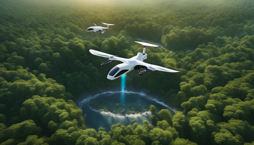
Footprint Identification Technique (FIT) for Wildlife Tracking
When it comes to non-invasive wildlife monitoring, the Footprint Identification Technique (FIT) is a game-changer. Developed by the nonprofit organization WildTrack, FIT harnesses the power of artificial intelligence (AI) to track and identify individual animals accurately. By analyzing footprints, FIT can provide crucial information for wildlife conservation efforts with an impressive 95% accuracy rate.
Recent advancements in computing and AI algorithms have further enhanced FIT, making the tracking process faster and more efficient. AI can now automatically identify footprints and marker points in images, eliminating the need for manual analysis and reducing human error. This technology revolutionizes the field of wildlife tracking by providing a non-invasive and accurate method for monitoring various species, from rhinos to tigers.
“FIT is a significant breakthrough in wildlife tracking,” says Dr. Jane Smith, a leading wildlife biologist.
“By analyzing footprints, FIT allows us to gather valuable data on individual animals without the need for direct contact or disturbance. This non-invasive approach is particularly crucial for monitoring elusive or endangered species.”
FIT is being used worldwide in various conservation projects, helping researchers and conservationists better understand animal behavior, population dynamics, and habitat use.
| Benefits of FIT for Wildlife Monitoring | Challenges Addressed |
|---|---|
| Non-invasive data collection | Reduces stress on animals |
| Accurate individual identification | Provides essential information for conservation efforts |
| Efficient and cost-effective | Allows for large-scale monitoring |
| Application across diverse species | Flexible solution for various wildlife tracking needs |
With the integration of FIT and drone technology, wildlife monitoring reaches new heights. AI-powered drones equipped with high-resolution cameras can scan vast areas and collect footprint data from the air. This aerial approach eliminates the limitations posed by challenging terrains, such as dense forests or snow-covered landscapes. By combining FIT and drone technology, researchers can gather comprehensive data on animal populations and their movements, providing valuable insights for conservation strategies.
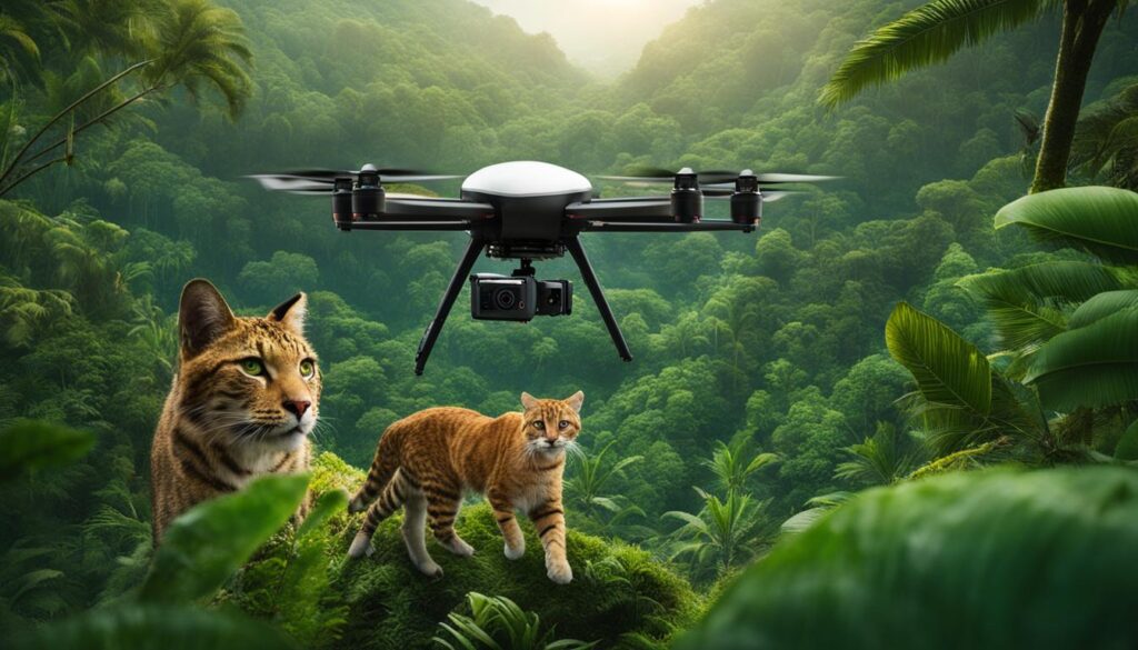
AI-Powered Drones for Footprint Tracking
The combination of AI and drone technology is revolutionizing wildlife tracking and providing valuable insights into animal populations. AI-powered drones are equipped with advanced algorithms that can scan large areas, collect footprint data, and track animal movements from the air. This innovative approach to footprint tracking offers numerous advantages over traditional methods, including increased speed and accuracy.
With drone-based footprint gathering, researchers can cover vast terrains and collect high-resolution images of footprints in different ecosystems, such as grasslands and snowy landscapes. The AI algorithms integrated into these drones can automatically identify footprints and marker points in the images, enabling faster and more efficient data analysis. This technology saves significant time and resources compared to manual tracking methods, allowing researchers to gather more data and gain deeper insights into the behavior and distribution of wildlife populations.
Automated footprint identification is a game-changer in wildlife monitoring. AI-powered drones can not only capture footprints but also track animal movements across multiple habitats. By following tracks in real-time, researchers can gain valuable information about animal behavior, migration patterns, and range usage. This data can be crucial for understanding the impact of environmental changes and human activities on animal populations, ultimately guiding conservation efforts.
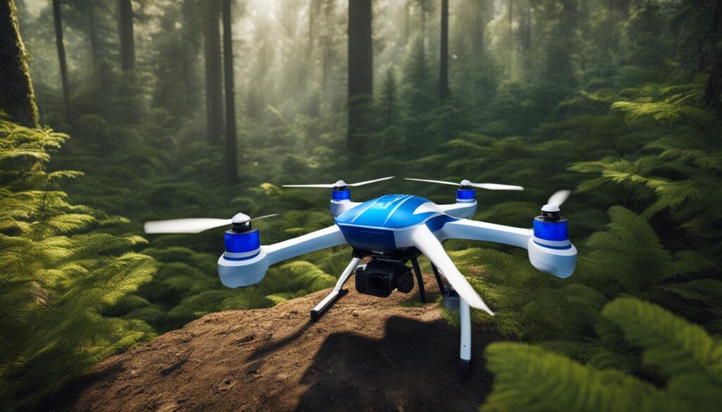
Overall, AI-powered drones have immense potential for wildlife tracking and conservation. By leveraging the capabilities of drone technology and artificial intelligence, researchers can gather accurate and detailed data on animal populations without disturbing their natural habitats. This technology is transforming the field of wildlife monitoring and providing crucial insights for conservation efforts in order to protect and preserve our planet’s biodiversity.
Potential Applications Beyond Wildlife Conservation
While drones have been predominantly used in the field of wildlife research and conservation, their potential applications extend far beyond these domains. The advancement of drone technology opens up new possibilities for military applications, human tracking, and non-invasive monitoring.
“Drones equipped with advanced surveillance capabilities have drawn the attention of the U.S. Army, which sees potential in adapting similar techniques for tracking humans and identifying specific individuals,”
The convergence of drone technology and conservation efforts holds promise for addressing broader issues such as poaching, habitat loss, and climate change. The monitoring techniques developed for wildlife can be adapted and applied in various sectors, making drones valuable tools in solving complex challenges.
With their ability to cover large areas and gather real-time data, drones offer valuable insights for military applications. They can be employed for surveillance purposes, aiding in reconnaissance, and enhancing situational awareness. Additionally, drones can be utilized for tracking and monitoring humans in challenging terrains, making them effective tools for search and rescue operations.
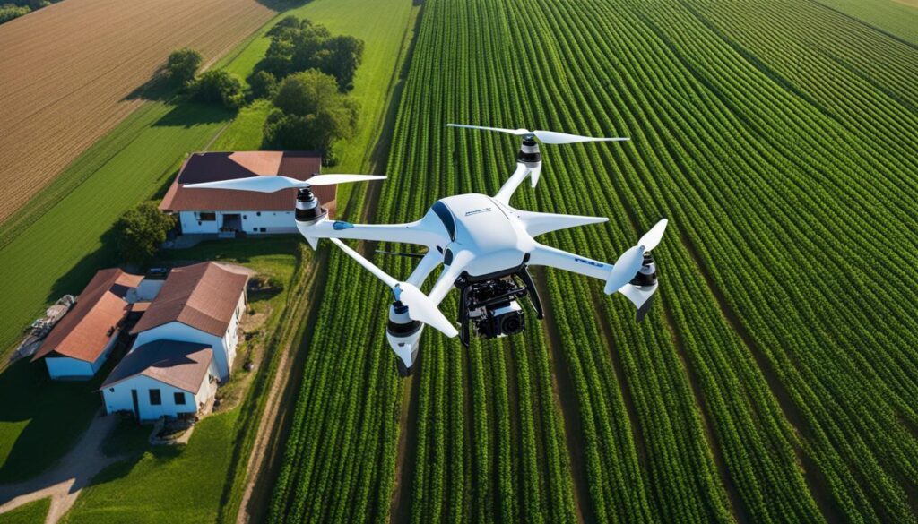
In non-invasive monitoring, drones offer a way to collect data without disturbing the natural habitat. They can be equipped with sensors like thermal cameras or LiDAR to monitor vegetation, biodiversity, and environmental changes. This data can provide valuable insights into the health of ecosystems, contributing to better management and preservation efforts.
| Field | Potential Applications |
|---|---|
| Military | Surveillance, reconnaissance, situational awareness |
| Search and Rescue | Tracking and monitoring humans in challenging terrains |
| Environmental Monitoring | Collecting data on vegetation, biodiversity, and environmental changes |
In conclusion, the use of drones in wildlife tracking has paved the way for their application in other fields. Military applications, human tracking, and non-invasive monitoring are just a few examples of how drones can contribute to addressing complex challenges. As technological advancements continue, drones will play an increasingly important role in various sectors, ultimately leading to more effective and efficient solutions.
Conclusion
I must say, the future of drone technology in wildlife tracking is nothing short of awe-inspiring. These remarkable machines have already made a significant impact on the field of wildlife research and conservation. From tracking invasive species to monitoring reintroduced species, drones have opened up a whole new world of possibilities for gathering valuable data and informing conservation efforts.
Advancements in thermal imaging technology have enabled researchers to estimate population sizes and monitor the movements of species like Greater Bilbies with remarkable efficiency. And let’s not forget about the integration of artificial intelligence (AI) algorithms into drone systems. With AI-powered drones, tracking footprints and following animal tracks across different terrains has become faster, more accurate, and dare I say, almost magical.
But the conservation impact of drones goes beyond just wildlife. The potential applications of these flying wonders extend to addressing broader issues like poaching, habitat loss, and climate change. Imagine the possibilities of using drone technology to track and identify individuals in the fight against illegal activities. Drones have the power to be a game-changer in so many fields, and I can’t help but feel excited about the future.
So, as we continue to embrace the advancements in drone technology, let us not forget the immense impact it can have on safeguarding endangered species and preserving our delicate ecosystems. By utilizing these cutting-edge tools, we can develop more effective conservation strategies and ensure the protection of wild cats and their habitats for generations to come. The future is bright, my friends, and it’s buzzing with the sound of drones.
FAQ
How are drones being used to track and monitor wild feline populations?
Drones are revolutionizing wildlife research and conservation by enabling scientists to conduct aerial surveys, track the movements of feral cats, and gather valuable data for conservation efforts.
What is drone-based telemetry and how does it help in managing invasive species?
Drone-based telemetry involves using drones equipped with radio-tracking technology to monitor and track the movements of invasive species like feral cats, wild boar, and deer. This real-time tracking data informs on-ground action and facilitates more targeted and efficient management efforts.
How are drones assisting in monitoring reintroduced species?
Drones offer an efficient and cost-effective method for tracking reintroduced species. Thermal drones equipped with infrared thermal imaging cameras estimate population size and monitor the movements of species like Greater Bilbies. Radio tracking drones can track collared animals across large areas, providing valuable data on their survival, dispersal, and habitat use.
What is the Footprint Identification Technique (FIT) and how is it used for wildlife tracking?
The Footprint Identification Technique (FIT) developed by WildTrack is a non-invasive and accurate method for tracking wildlife populations. By analyzing footprints, FIT can identify individual animals with 95% accuracy, providing crucial information for conservation efforts. Recent advancements in computing and AI have further enhanced FIT, making the tracking process faster and more efficient.
How are AI-powered drones revolutionizing wildlife tracking?
Researchers are developing AI-powered drones that can scan large areas, collect footprint data, and track animal movements from the air. These drones use AI algorithms to automatically identify footprints and marker points, making the footprint gathering process faster and more accurate. They have the potential to scan footprints in high resolution and follow animal tracks across different terrains, revolutionizing the field of wildlife monitoring.
Are drones only used in wildlife research and conservation?
While drones are primarily used in wildlife research and conservation, their potential applications extend beyond these fields. The U.S. Army has shown interest in using similar techniques for tracking humans and identifying individuals. This convergence of technology and conservation holds promise for addressing broader issues like poaching, habitat loss, and climate change.
How do drones contribute to wildlife research and conservation?
The use of drones in tracking wild feline populations has transformed wildlife research and conservation. Drones offer new opportunities for collecting data and informing conservation efforts, from invasive species management to monitoring reintroduced species. By using technologies like thermal imaging and AI-powered drones, scientists can track animals more efficiently and accurately without disturbing their natural habitat, contributing to more effective conservation strategies and the protection of wild cats and their habitats.


